
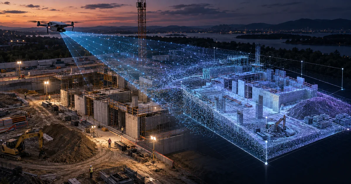
Niantic Spatial and Spexi rebuilt areas of 100 thousand m² with standardized flights. See applications, evidence and limits for infrastructure.
Direct answer
Niantic Spatial and Spexi described a flow in which a drone weighing less than 250 grams covers about 100,000 square meters in approximately 20 minutes, capturing about 400 aerial images. Gaussian splatting reconstruction seeks to combine photographic appearance and geometry useful for measurement, inspection and temporal comparison.
How capture was standardized
The flow described uses autonomous grid flight at 80 meters high, speed of 10 meters per second and nadiral and oblique images. Each region receives multiple angles, creating consistent coverage for reconstruction.
The difference between looking right and measuring right
A splat can be visually convincing and deform when observed outside the source cameras. For operational use, the geometry needs to remain coherent enough for measurements, progress comparison, and remote inspection.
Where AR comes into the process
Once rebuilt and georeferenced, the base can guide overlays in the field: expected progress, risk areas, components and instructions. The value depends on spatial alignment, capture date and declared margin of error.
How to validate in infrastructure
Use measured control points, compare dimensions, and record weather, camera, flight plan, and processing version. Critical decisions must be verified by an appropriate method; the template does not automatically replace certified survey.
Nexus Reading
Aerial capture expands the scale of the digital twin, while AR returns the information to the site. The useful connection is a cycle: capture, validate, compare, visualize and act.
FAQ
Does Gaussian splatting replace LiDAR?
Not in all cases. The choice depends on required accuracy, environment, cost and purpose.
Can the model be used for measurement?
The source demonstrates measurements, but each design must validate error and suitability for the intended use.
What is the function of AR?
Display information and differences aligned to the physical location to support inspection and execution.
Essential guides to delve deeper into the decision
This editorial analysis was produced by Nexus from the official sources below, consulted on September 9, 2026. The text is original and interprets practical implications for companies.
- Niantic Spatial — Ground Truth, Now from the Sky: capture, reconstruction, measurement parameters and declared applications.
- Niantic Spatial — Physical AI blog: official index and context of the spatial reconstruction line.
Date reported by the main source: June 22, 2026.