
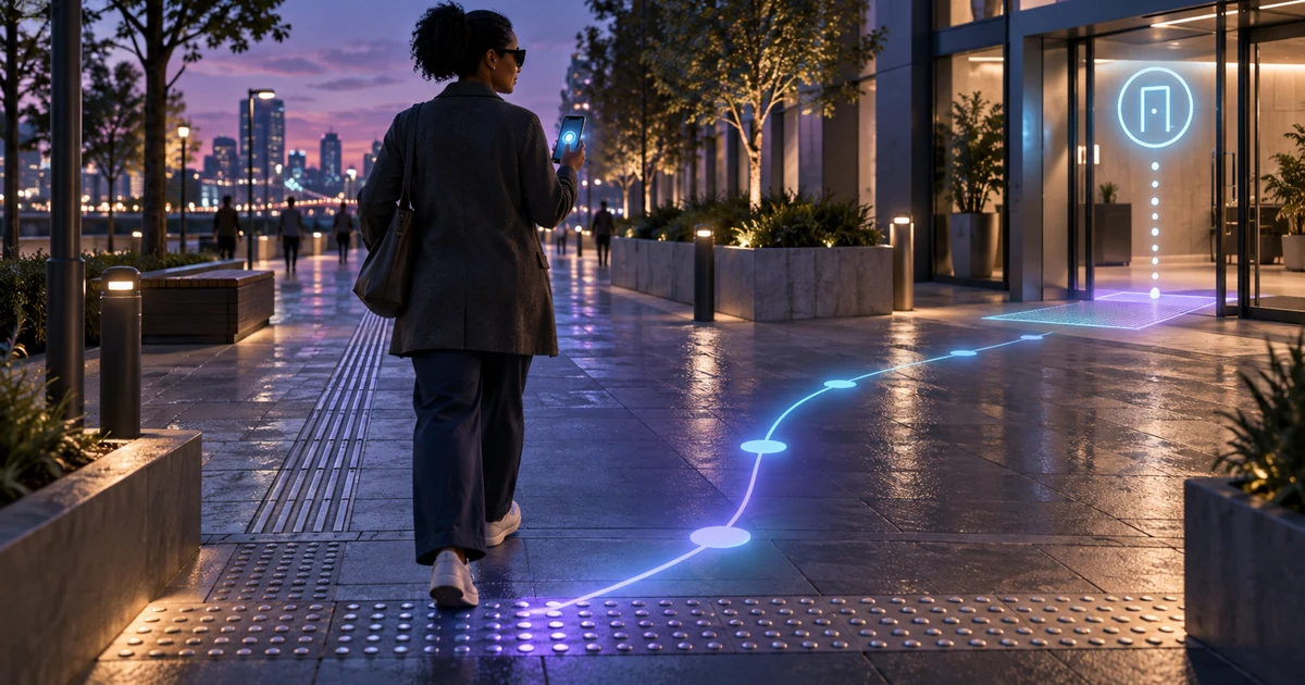
Niantic Spatial's design uses visual positioning and community annotations for accessible navigation. Understand the architecture and implementation precautions.
Direct answer
NaviNote, a Niantic Spatial research project recognized at CHI 2026, combines GPS for comprehensive guidance with precise visual localization within the last few meters and spatial annotations created by people who are blind or have low vision. The idea shows how AR and AI can transform places into accessible interfaces, as long as accuracy, consent, updating routes and non-visual alternatives are treated as critical requirements.
GPS resolves the region, not the exact destination
A mistake of just a few meters can put a person in front of the wrong door, a staircase or an obstacle. Visual localization uses the camera and a spatial map to refine position and orientation when detail matters.
Local annotations add human knowledge
Notes linked to space can describe input, texture, change in level or sound reference. Allowing users to create and review this information reduces reliance on descriptions defined only by people without disabilities.
Accuracy needs to be communicated
The system must indicate confidence, request new capture when necessary and offer an alternative route. Never present a spatial estimate as certainty when a failure could cause physical risk.
Shared space governance
Locations change, obstacles appear and cameras capture third parties. Deployments need expiration, review, reporting, image minimization, and clear rules for who can publish or remove an annotation.
Nexus Reading
The best AR disappears within the task. In accessibility, the value is not seeing an effect, but getting to the right point with autonomy and confidence, preserving choice and security.
FAQ
Does NaviNote replace GPS?
No. The project uses GPS for broad guidance and visual location to refine the last few meters.
Why are notes important?
They add situated knowledge about entrances, obstacles, and landmarks that a generic map may not represent.
Is the solution already a commercial product?
The source presents NaviNote as a research project; Availability and commercial support must be confirmed separately.
Essential guides to delve deeper into the decision
This editorial analysis was produced by Nexus from the official sources below, consulted on September 12, 2026. The text is original and interprets practical implications for companies.
- Niantic Spatial — NaviNote: research, problem of last meters, architecture and user participation.
- Niantic Spatial — Visual Positioning System: Official view of visual positioning technology used in spatial experiences.
Date reported by the main source: May 1, 2026; analysis consulted on September 12, 2026.