
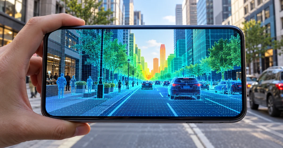
Geospatial Depth uses urban geometry and VPS to extend depth in outdoor environments. See impacts on occlusion, positioning, and security of AR experiences.
Direct answer
ARCore's Geospatial Depth integrates Streetscape Geometry into depth maps when VPS is available, extending the representation up to 65.535 meters. The combination can improve occlusion and positioning of content on streets and buildings, but depends on coverage, site conditions, device accuracy, and explicit handling when the feature is not available.
Urban geometry expands the understanding of the scene
Building and terrain data can complement local sensors at distances greater than traditional depth.
Availability needs to be checked in real time
The application must detect support, location quality, and coverage before depending on the result.
Occlusion improves coherence, does not guarantee security
Content behind objects feels more natural, but experience shouldn't guide critical decisions without additional validation.
Testing needs to happen at the point of use
Compare schedules, weather, traffic, facades, movement and different devices on representative routes.
Nexus Reading
Design a clear degraded mode and use geospatial depth to reinforce context, never to hide operational uncertainty.
FAQ
How far does Geospatial Depth operate?
ARCore documentation reports geometry integration at depths up to 65,535 meters.
Does it work anywhere?
No. The result depends on device support, VPS availability and geospatial data.
Which business application is recommended?
Contextual navigation, urban visualization, external maintenance and project communication with well-defined fallback.
Essential guides to delve deeper into the decision
This editorial analysis was produced by Nexus from the official sources below, consulted on October 14, 2026. The text is original and interprets practical implications for companies.
- Google for Developers — What's new in ARCore: official ARCore changelog and description of Geospatial Depth.
- Google for Developers — Geospatial API: Official VPS documentation, anchors and geospatial resources.
Date reported by main source: official documentation consulted on October 14, 2026.